
Drone Real Estate Photography
Elevate your listings with professional drone real estate photography
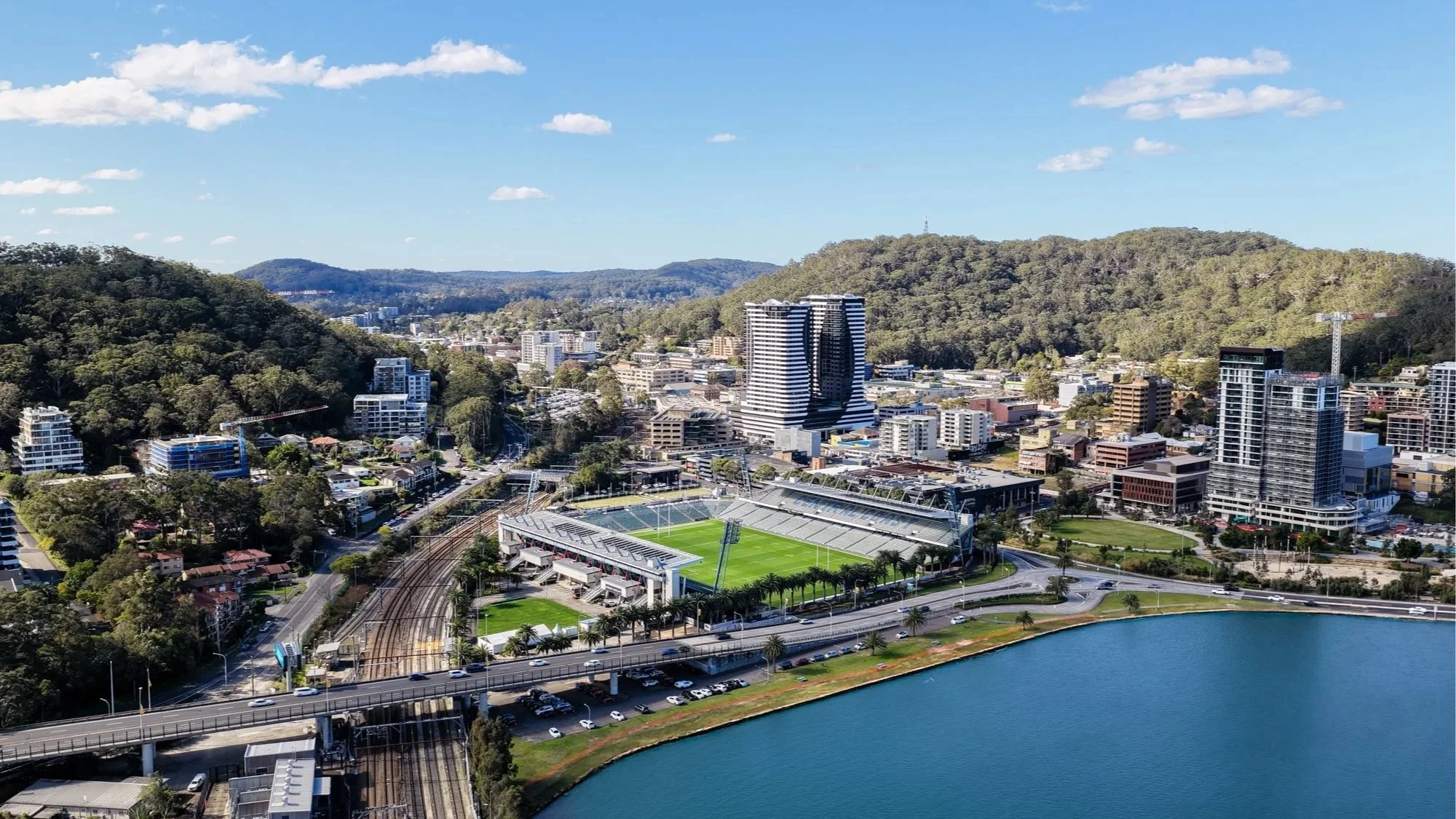
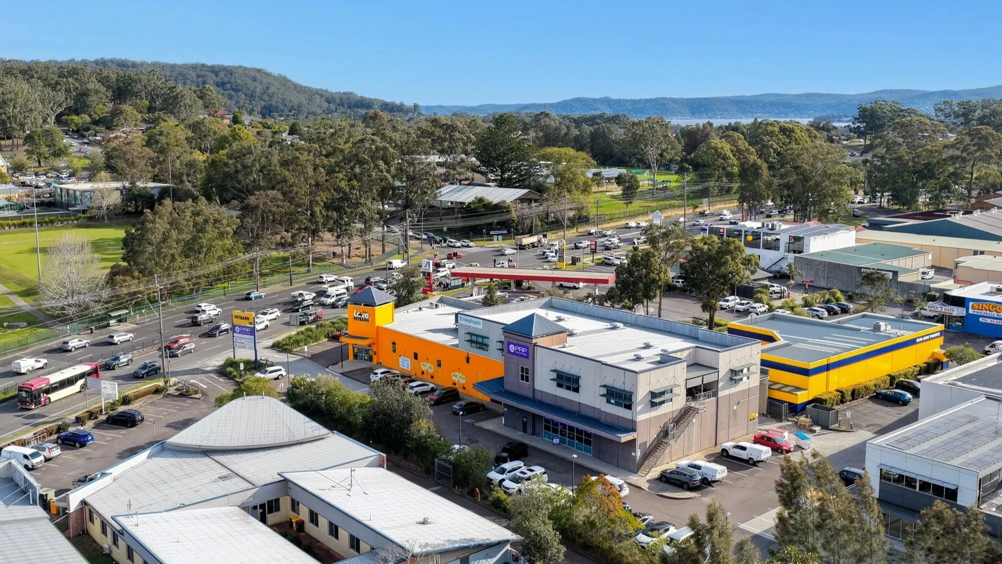
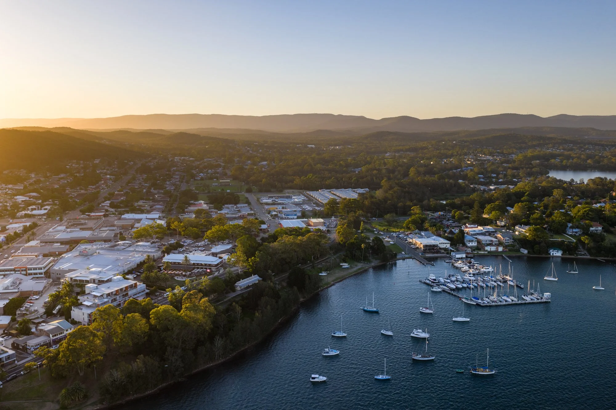
At Prestige Property Photography, we deliver refined, high-impact drone imagery designed to showcase not just the property — but its position, scale, and surroundings.
In a market where buyers want context as much as detail, aerial photography provides clarity that ground-level imagery simply cannot. Our drone work is designed to enhance perception, highlight lifestyle advantages, and strengthen buyer confidence from the very first impression.
Why professional real estate photography matters
Modern buyers are not only purchasing a home — they are buying into a location, a lifestyle, and a sense of space.
Professional drone imagery allows you to:
Show block size, layout, and boundaries clearly
Highlight views, water proximity, and surrounding landscape
Demonstrate privacy, elevation, and position
Communicate value instantly at a glance
When used strategically, drone photography adds context, credibility, and prestige — helping listings stand out and perform more strongly in competitive markets.
Our approach
We don’t fly drones for spectacle — we use them with purpose.
Every aerial shoot is approached with a deliberate, considered balance of:
Altitude and angle selection
Property scale and boundary clarity
Surrounding context and amenities
Visual flow between aerial and ground imagery
The result is drone photography that feels clean, intentional, and informative — never distracting or gimmicky.
Why choose Prestige Property Photography
At Prestige Property Photography, precision and compliance matter just as much as creativity.
✔ Licensed and experienced drone operators
All drone operations are CASA-certified and fully insured, ensuring every flight is conducted legally, safely, and professionally.
✔ Property-first aerial perspective
We focus on how the property sits within its environment — not just the shot itself — highlighting features that matter to buyers.
✔ Tailored drone packages
From a small number of hero aerials to comprehensive campaigns including boundary overlays, location pins, and branding, our drone services are customised to suit your listing.
✔ Professional post-production
Every aerial image is refined through careful editing to ensure clarity, balance, and consistency with your overall campaign.
✔ Fast turnaround
We understand real estate timelines. Aerial imagery is delivered promptly, ready to launch alongside your marketing.
✔ Designed for competitive agents
Our drone photography supports stronger engagement, clearer messaging, and elevated presentation for agents who value premium marketing.
Premium aerial enhancements
Our drone photography includes professional post-production, with optional enhancements available to further clarify and elevate presentation:
Boundary overlays – Clearly define property size and layout
Location pins – Highlight key amenities and points of interest
Sky refinement – Clean, natural skies for visual consistency
Colour balancing – Accurate, polished colour and contrast
Brand overlays – Optional agent or agency branding where required
Clear context builds buyer confidence — and confident buyers act decisively.
Ready to capture your property from above?
Trust Prestige Property Photography to present your listing with clarity, scale, and authority.
Let’s create aerial imagery that strengthens perception and supports stronger results.
Frequently Asked Questions
-
Simply make a booking or contact us to discuss your listing and requirements.
-
We service the Central Coast NSW and surrounding regions, subject to airspace regulations.
-
Residential homes, acreage, waterfront properties, developments, and commercial sites.
-
Yes. Flight plans and imagery are customised to suit the property and marketing goals.
-
Drone imagery is typically delivered within 24 hours, subject to weather conditions.
-
Yes — drone imagery can be bundled with photography, video, floor plans, and virtual tours.
-
All flights comply with CASA regulations and privacy considerations.
-
Minor refinements are available to ensure the final delivery meets expectations.
-
A considered, compliant, and property-focused approach — not generic aerial shots.
-
Make a booking or contact us to discuss your project.